PASCO

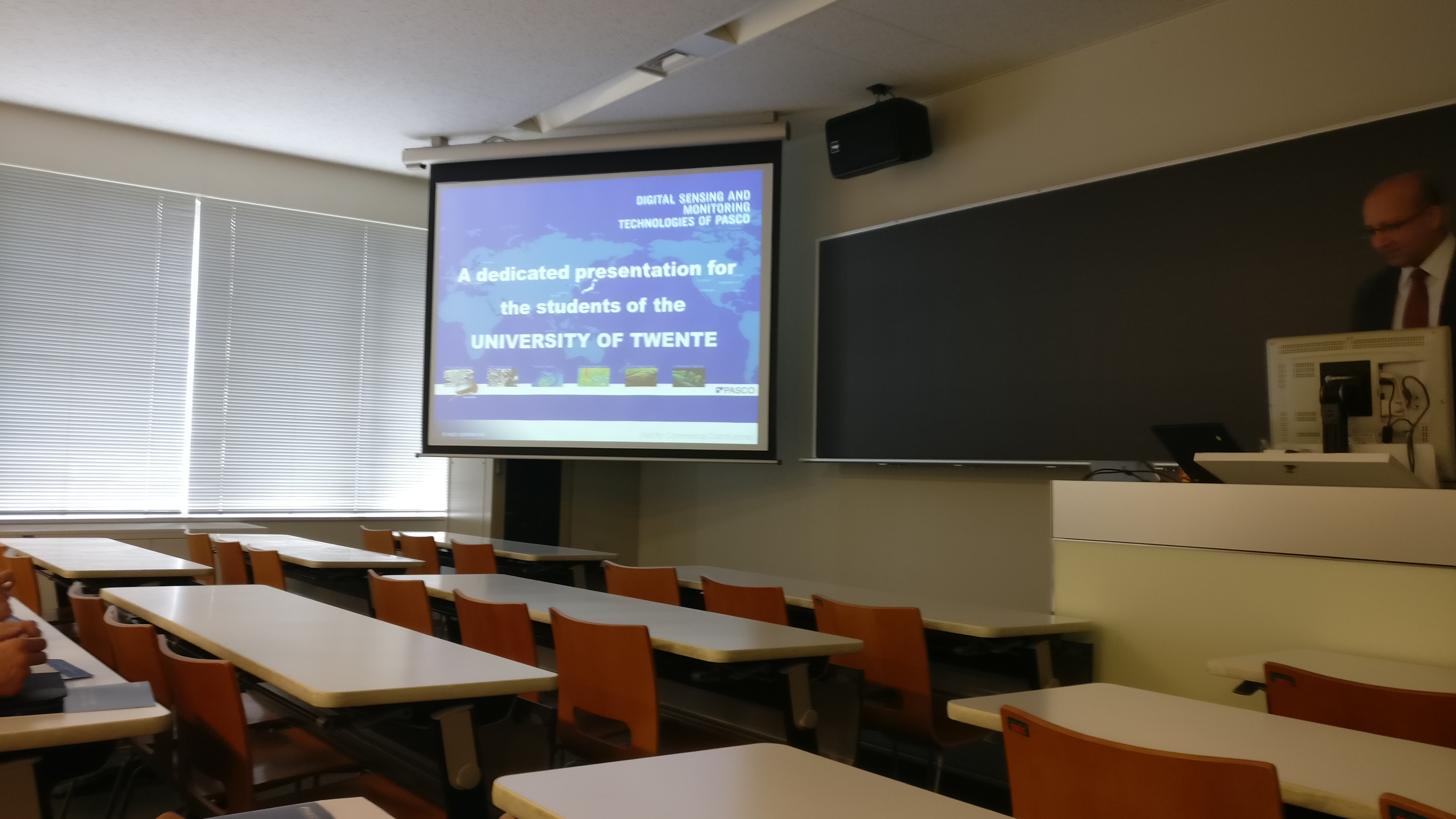
PASCO (Pacific Aero Survey Co.) is a company providing surveying and GIS services. Their clients are mostly public organisations from all over the world. In a classroom at Shibaura Institute of Technology we had the pleasure to listen to a presentation about the company’s activities. PASCO provides its surveying services are using a number of different tools. The largest scale are the satellites that are operated by PASCO. Also aircraft, land based vehicles and vessels are used to carry out surveying tasks. In the field of GIS services, the options are mostly logistics, marketing and crisis management. For the GIS services, the data gathered with the surveying tools is processed and interpret in large data-processing factories.
Several of the uses of the surveying and GIS services provided by PASCO nicely connect to our micro study with the theme “construction in high density cities”. Starting with the usage of the surveying data for constructing 3D models of cities. These models can then be used for urban planning in 3D. Next is the use of high resolution surveying data for construction planning. By surveying the construction site to be on a high resolution, it becomes possible to create a proper 3D or 4D model of the construction site to be. Last is the measuring of construction progress using accurate survey data (so-called iConstruction).
Two other topics that were discussed were also interesting but not directly related to the micro study. First was the possibility to use survey data from planes to measure underwater topography. By using a technique called LIDAR it becomes possible to measure shallow parts of water. This means that it is possible to measure underwater topography in places that a vessel can’t reach. The second topic is the possibility to use survey data for getting people home safely after a disaster. PASCO created a routing system which people can use to find a safe way home if they were not at home when the disaster struck.
In the technological aspect of the PESTLE analysis it became clear that Japan offers good digital infrastructure. With the amount of data that is generated during the surveying this infrastructure is very necessary in sending it to the relevant stakeholders. My meso study with it’s focus on power generation is not directly relevant to the excursion.
To conclude: as we are used to from the Japanese, also this presentation was very efficient, and strictly planned. From the beginning, the presenter had the time in mind and because Luuk had a short presentation on the study tour prepared he was already running behind from the start. By sometimes skipping a slide this lost time was caught up. The result of this: a presentation that finished exactly at 12.00. In the presentation a very high information density was to be found, so that all the relevant projects that PASCO undertakes could be discussed in the short time that was available. All in all a very Japanese excursion.
